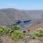
By John Sparks, Board Member, Trailkeepers of Oregon Distance: 10.1 miles / Elevation gain: 75 feet In 8,000-acre Cottonwood Canyon State Park, Oregon’s second-largest state park, a jeep track travels along the side of the John Day River…
By John Sparks
Distance: 3.1 miles / Elevation gain: 440 feet
Bald Hill is a 755-foot prominence in the bucolic southwestern outskirts of Corvallis where oak woods rub against cattle pastures.

A barn and outbuildings on Bald Hill Farm. (Photo by John Sparks)
The acreage here was purchased by the Greenbelt Land Trust in 1990 and turned over to the City of Corvallis in 1993. In 2013, the land trust bought the neighboring Bald Hill Farm, and a trail connector was established between the Bald Hill area and Fitton Green via Mulkey Ridge. A network of trails weaves over and around Bald Hill itself, including a paved bike trail that follows its eastern edge. Views from the summit extend west to Marys Peak in the Coast Range and, in spring, wildflowers such as camas, hawthorn, columbine, Nootka rose, and Tolmie’s mariposa are in full bloom. Keep to the trails, however: The poison oak is dense and ubiquitous.
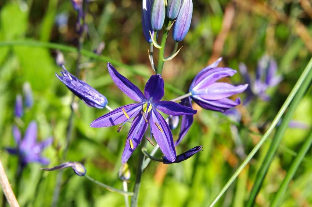
Great camas (Camassia leichtlinii) on Bald Hill. (Photo by John Sparks)
From the Oak Creek Trailhead, cross Oak Creek on a footbridge and turn right at an information kiosk. The trail along Oak Creek passes along the fenced pastures of Bald Hill Farm. Before you reach a green gate at a gravel farm road, go left on a trail that runs along next to the road between fences. In the spring, look for great camas and buttercup blooms here. To reach Bald Hill, make a left at a trail junction.
View toward Marys Peak from Bald Hill Natural Area. (Photo by John Sparks)
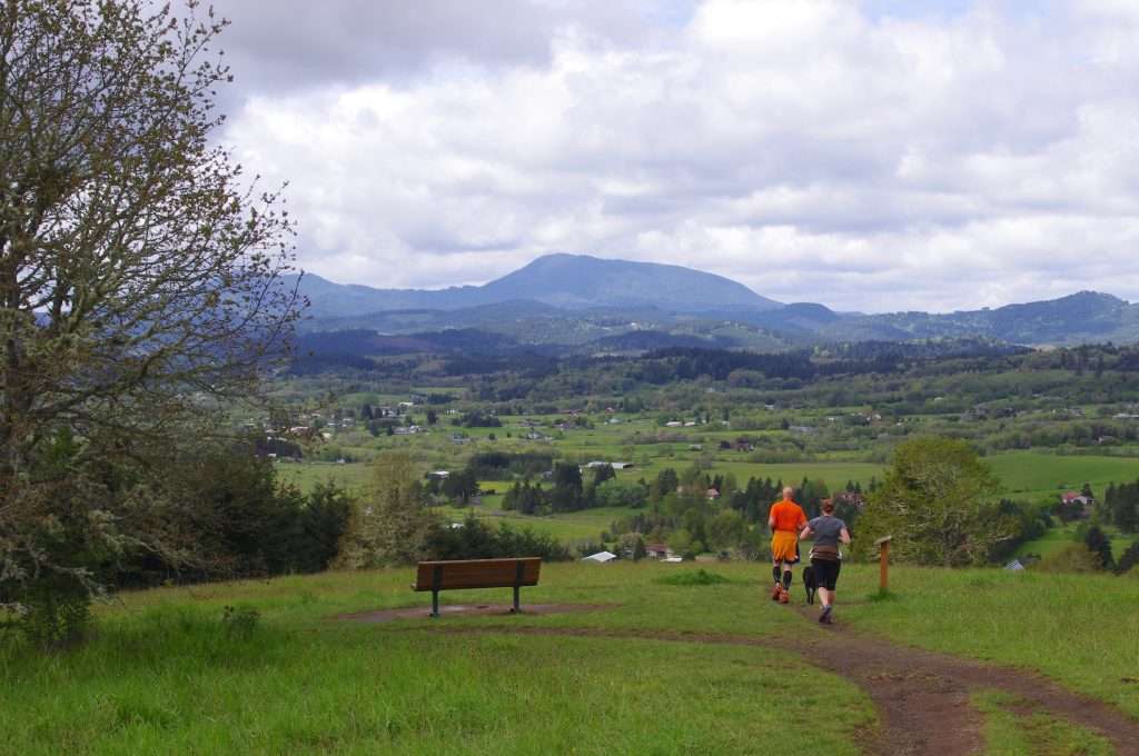
A wide, straight path leads along a large field blooming with buttercups in spring and enters a dense oak/ash swale. Cross several footbridges, and reach a junction with a map of Bald Hill area trails. Go right here on the Oak Savanna Trail (the off-leash dog area is to your left). The trail rises through open meadows shaded by twisted gnarly oaks dripping with mistletoe and lichen. Poison oak flourishes. Turn uphill at a Greenbelt Land Trust sign, and reach a junction. Keep right here, and continue uphill on the West Summit Trail in a brilliant green tunnel of hazel, maple, and snowberry. Switchback once to the grassy summit area, where you go left at a bench. Look west here for a spectacular view across the Marys River valley to Marys Peak. When you reach the actual summit of Bald Hill, there’s a bench looking south across the Marys River and Muddy Creek drainages to farmlands in the Bellfountain area.
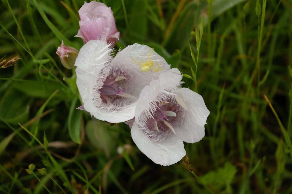
Tolmie’s mariposa (Calochortus tolmiei) and flower spider on Bald Hill. (Photo by John Sparks)
Head down to the left from the summit on a wide muddy track (Summit Road). At a four-way junction, go left on the drier North Summit Trail, and keep right at the next junction. Reach a small grove of massive ancient madrones, and stop to admire them. Come to a junction near the Bald Hill Barn, and turn right down the hill to the paved multiuse path that runs along the east side of Bald Hill. Go left on the paved trail, and walk along the edge of a field. Camas bloom all along here in the spring. In no time, you will reach Oak Creek and the trailhead.
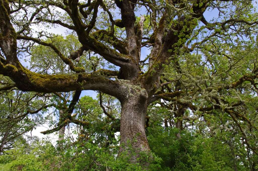
A sprawling oak on Bald Hill. (Photo by John Sparks)
See the Bald Hill Loop Hike in the Oregon Hikers Field Guide for more details and trailhead information.
John Sparks: john.sparks@trailkeepersoforegon.org